Here is the report by Dr. Ram Avtar (Associate Professor, Faculty of Environmental Earth Science), the organizer of the event.
Aim of the Symposium:
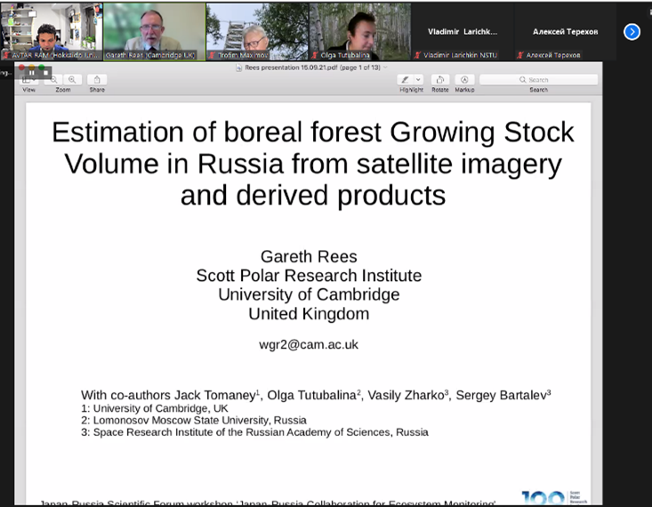
The main aim of this seminar is to develop algorithms to process multi-sensor remote sensing satellite data (PALSAR, Sentinel-1, Sentinel-2, Landsat) to monitor the boreal ecosystem, as the boreal ecosystem is one of the largest terrestrial biomes and plays a major role in the global carbon cycle. Recently, forest fires, decay of the damaged forest and deforestation activities in the boreal ecosystems cause increased CO2 emissions. The use of multi-sensor remote sensing data can provide precise information about changes in the ecosystem, which can help us to manage the forest sustainably. This session will be devoted to the discussion of how multi-sensor remote sensing data can be used to find evidence-based solutions for sustainable forest management and implementation of SDGs#13 (Climate action) & 15 (Life on earth).
Summary of the symposium:
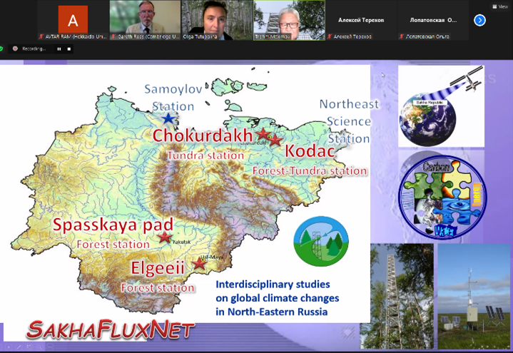
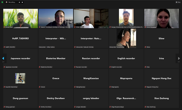
We had 64 participants from 8 countries, and speakers from Japan, Russia and the UK. The workshop was very fascinating and highlighted the importance of long-term field observation data and geospatial data, particularly from remote sensing in accurate monitoring of boreal ecosystems. Field super-sites, such as Spasskaya Pad station in central Sakha republic, provide an excellent platform for international collaboration in the ecosystem monitoring. some potential new Russia-UK-Japan collaborations may arise from this workshop. This workshop also demonstrated the use of advanced multi-sensor data and machine learning and deep learning algorithms can provide novel results in the near future.
Outcomes of the symposium:
- This symposium provides us an opportunity to collaborate with researchers in Japan and Russia and to expand our network and information exchange.
- Hands-on training provides an opportunity to practice and apply machine learning and deep learning algorithms in their ongoing research.
- UAV based hands-on training provides an opportunity to learn how to collect and process UAV data.
- Joint publication and collaborative research on application of ML and DP in geosciences in the future were also discussed during the symposium.
- Based on this symposium Moscow State University (MSU) has also organized a google earth engine training for their students in the MSU.
Note: If any researcher/student is interested in downloading the recorded session of the symposium, please contact the organizer (Dr. Ram Avtar; ram@ees.hokudai.ac.jp)

Video (YouTube)
Program
Click here to see the full program.